Wednesday, July 5, 2017

3 Days 2 Nights Part 3

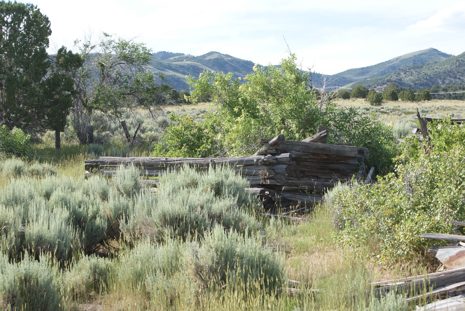
 Sunday dawned nice and early and we headed out to the infamous Nine Mile Canyon. Just to get things strait, Nine Mile Canyon is a hell of a lot longer than 9 miles. So this is the first thing that you see as you begin the long journey of NMC. It also gives you advance warning that 99 % of the canyon is private property. As you pass through the canyon you begin to notice that there are a lot of old buildings scattered throughout the canyon. Some are accessible while others are not. 
 The first bit of Native American graffiti begins early in the drive and is properly called First site. It has a few drawings  scattered about a small rock and they are easy to see and find. Like the writings in City of Rocks, these too are showing signs of wear and tear and will someday disappear. 
 C. W. decided way back in 1881 that he too wanted in on the graffiti so he added his name to the art area. I am sure we could find out who he was if we wanted too, but I really don't want to know. Some ass holes from modern times have also added their "artwork'' to some of the sites and that's a big no no. Modern people need to realize that this stuff left by people from the past needs to be left alone. Why it is so hard to understand this baffles me. People are really that stupid.
 This old farming area had a lot of old buildings and machinery lying around. The big main building was across the street and fenced in while the other side was wide open and free to wander through. Farming is still a big thing in the canyon and most of the old time buildings are used for some purpose based on farming. This also explains why 95% of the roads lead to locked gates. 
 I found it interesting that there were 2 of these bull dozers in this one area. They are very old and both have been stripped down to almost nothing. They were made in either Indiana or Ohio and it would have been really neat to see these old bad boys run.
 The next graffiti stop was a ways up the road. It had its own parking lot along with a Bowery and picnic tables. There is a half mile long hike you can take to see all of the writings in this area. They are pretty cool to see and i wonder what they were really saying. 
Further up at almost the end of the road you come to the famous drawings. The most famous one above is known as the Great Hunt. This is regarded as one of the best drawings ever found. I will admit it is very cool, but its a long, hot way to get to it and once you have seen it, it is time to head back down the canyon to civilization. Of course we had to try every dirt road we could find that wasn't gated shut so it was fun. I forgot the map to this area so we blindly followed the GPS and saw some really pretty country. We even began filming the trail up Prickly Pear  canyon and had our Samsung decide it wanted to burn. No, it did try to burn. By the way, if you smell burnt onions when you shouldn't, more than likely it is a Samsung product burning. My final thought on this canyon are mixed. Yes we saw some cool graffiti and some really beautiful canyons but I don't think I'll go back. 
#1- Not a lot of Native drawings. 
#2- A lot of the canyon is gated and you can't follow every road. 
#3- Lack of onsite information. We came across 2 literature boxes and both were empty. Not good when you have forgotten your map
Like I said, beautiful country but the majority of it is behind locked gates and I really don't like that. If you go, plan on 6 hours and bring plenty of water and food. There is no cell service nor electricity in the area so be forewarned of that!  Jeep on my friends!

Tuesday, July 4, 2017

3 days, 2 nights part dos

 Day one continued as we pushed further south to Consumers Road that goes west out of Spring Glen. We had already checked in to the hotel and dumped the luggage and unwanted stuff so we were ready for some serious searching. The first ghost town on the list was Coal City. This town began as a farming community and ended up a coal town. It sits at 7000 feet so farming was not the best choice. Coal was soon discovered and like all those other towns in the region mining began in the 1920's. Like the other towns, prosperity brings nice things. The town began as a tent city and ended up having the usual brick school house and other buildings built. As you can see, not a lot is left. 
 Most of the remnants have collapsed into piles of old wood and bricks. One building has survived and I am willing to bet it has been used by the farmer who has tractors parked next to it. The town is situated on WMA land which keeps any form of motorized vehicle out of there. This has lead to the preservation of  the rubble and lets us see how the town was set up. 
 As I have looked back on fotos of these areas taken long ago, the one thing missing in all those fotos are the notorious Sagebrush. This stuff is the scourge of the world. It is hard to get rid of and just walk by one or two bushes and you'll bring home a Tick or two as a souvenir. This is one reason I do not like to get out and dig thru the underbrush for more clues on most towns. I have one genuine bottle dump field in a ghost town that produces 3-6 bottles a year and I will go in there searching but it is done with care. With even that said we have brought home Ticks. So the choice is yours. Get in and get dirty or explore aware of whats around you and avoid the pitfalls. 
 I do wish I had picked up this hobby before 1988. I missed out on a lot of stuff that has disappeared due to time and vandalism. For this reason, I am trying to visit as many as I can and get fotos of what is left. Sometimes I am successful and others I am not. A non successful venture was looking for Consumers. 
 Consumer was the next town up the road and I failed to find it. I do know now where it is and from what I read I didn't miss much but still..... it was a failure. My GPS said one thing and like a dumbass I followed it. Oops. It said the town was in a grove of trees that a deer would have had a hard time walking thru. It was not. It was up a canyon just around the bend that had some modern equipment in it. But that was ok. We followed the road to the very top of the mountain and got rewarded with an incredible view.  
When we finally came down off the mountain, we stopped at this abandoned coal site. It was gated up and looked like it hadn't run in a few years. Machinery is cool to me. I like to learn how things are made and watch it be done. It would have been neat to see a train pull in and start to be loaded with coal. The coal trains are huge and require quite a few engines to get them out of the valley. I imagine that during this places heyday, it would have been a fun place to watch. Stay tuned for the next installment when we abandon coal mines in exchange for Native American graffiti. Jeep on my friends!

3 Days, 2 nights and a whole lot of new things seen: Part 1

 So, after years of talking about it, we finally decided to go south the the Nine Mile Canyon area around Price Utah. We decided on 3 days and 2 nights with the full day dedicated to the infamous Nine Mile Canyon. Day one put us in Scofield Utah in an attempt to visit the abandoned Winter Quarters Mine. This didn't happen due to a parade, but more on that in another blog. So, we changed up the schedule and made our next in line visit the first visit. Outside of Helper Utah is a road named Canyon Road. On this road reside numerous old coal mining towns that have become ghost towns. The first of the bunch was called Peerless. This town, like the rest in the canyon enjoyed some success beginning around 1912 and dying out in the late 40's and early 50's. 
 Moving up the canyon you arrive and the Standardville site. Now I cannot officially say which fotos belong to which town. I can only guess and I could be wrong. The only sure thing is that these towns were close neighbors and where their dividing lines were are unknown to me. I am just documenting their remains and the fact there were towns up here to begin with. Early coal was removed by wagon until a spur line for the rail road was built into the area. I really enjoy looking at old railway bridges. They used he finest timber available and were built to last.
 Everywhere you look in this canyon  you can see remnants of old buildings. Due to being fat and old, I choose not to get to far off the main road on 100 degree temp days. A person could spend days up this canyon and still miss things. I would be willing to say that October would be the best time to visit this area. The temps would be cool and the leaves would be off the trees so exploration could be easier. Noon on a hundred degree day did not add any desire to venture on up some of the side canyons and see what I could find. Someday I will return with more time and better choice of weather.  
 At the end of Spring Canyon lie the last of the towns and mines. Though there were 3 different towns, the eventually blended into a town called Rains. There are some fotos online of this canyon during its heyday and there wasn't a lot of sagebrush to be seen. Now, it's everywhere and slowly reclaiming the entire area. As always, vandals are doing their best to destroy the old structures and keep the rest of us from seeing the past.   
 One common thing we noticed was burned out doors. The frame work around the doors was burned on numerous buildings that were left standing. I have to believe that this was some form of arson, yet I can't quite yet understand the why behind it. By looking inside these buildings, you can see that they were not burned down, or even on fire for that matter. It is only doorways and a few windows that have the fire marked frames and only at ground level. 
During our trip up Spring Canyon we met the up to date local owner of all this wonderful area. He seemed nice enough and answered a few questions about the area we had. I really believe that he has more distrust for explorers like myself than trust. We were given our answers and he made it clear that the end of the road was gated. He was nice enough to show us where one of the mine entrances was. If you look through the doors of this building above you will notice a black hole above the cows head. This was one of the mines and he assured us that this entrance was flooded and we could not pass into it.  I really hate it when assholes go to these areas and treat them with disrespect. This behavior ruins it for the rest of us who just have an odd interest in history and the past. More and more gates are being put up and cool things that are behind these gates wont be seen again. Stay tuned for more on our adventure to Carbon County Utah. Jeep on my friends! 

Sunday, June 11, 2017

City of Rocks, cousin of the Devils Playground

 I have to admit that I am a week late in posting this entry. We actually went on this adventure last weekend but due to work and finally getting my video program to produce a good film, I ran out of time. City of Rocks is located in south-west Idaho just a few miles from the Utah Border. It is a National Park but there are no entrance fees to browse through it. This park is on the Old California Trail and there are interesting things located in the park that deal specifically with this trail. The foto above shows the formation known as the Twin Sisters. It was the first noted thing we came to. We took the back way in from the west just because we could. Most go in on the east side from highway 84.
 The next interesting stop was Register Rock. During the time that the pioneers were crossing the valley on their way west to California, it appears that a sort of tradition was begun. Many of the travelers began to write their names in axle grease all over this big rock formation. 
 Above you can see that A Freeman was there on June 12, 1850. He or she was traveling with D Tickner and I would assume on their way to California for the gold rush. My guess is that we will never know who they were and where they were going. 
 Time plays havoc with the things from the past. As I have mentioned before, buildings from old ghost towns are disappearing, nature is reclaiming old trails and the snow and rain are washing away this old graffiti. They used the grease from their wagons to write their names and considering  how long ago it was, some are still well preserved. Others like the ones above are fading fast into oblivion. Hopefully, someone years ago took fotos of all this so they will still have records.  
 The park is also about recreation. This is Elephant Rock. If you zoom in on it you can see a bunch of crazy people climbing this rock. I know that I wouldn't try to do it. But, that doesn't stop others from participating. There are several areas throughout the park where crazy people can climb up on top of these big rock formations. We saw a lot of people doing it all over the park. The way I see it is if I cant climb it in the Jeep, I am not supposed to be there. Just sayin'.......

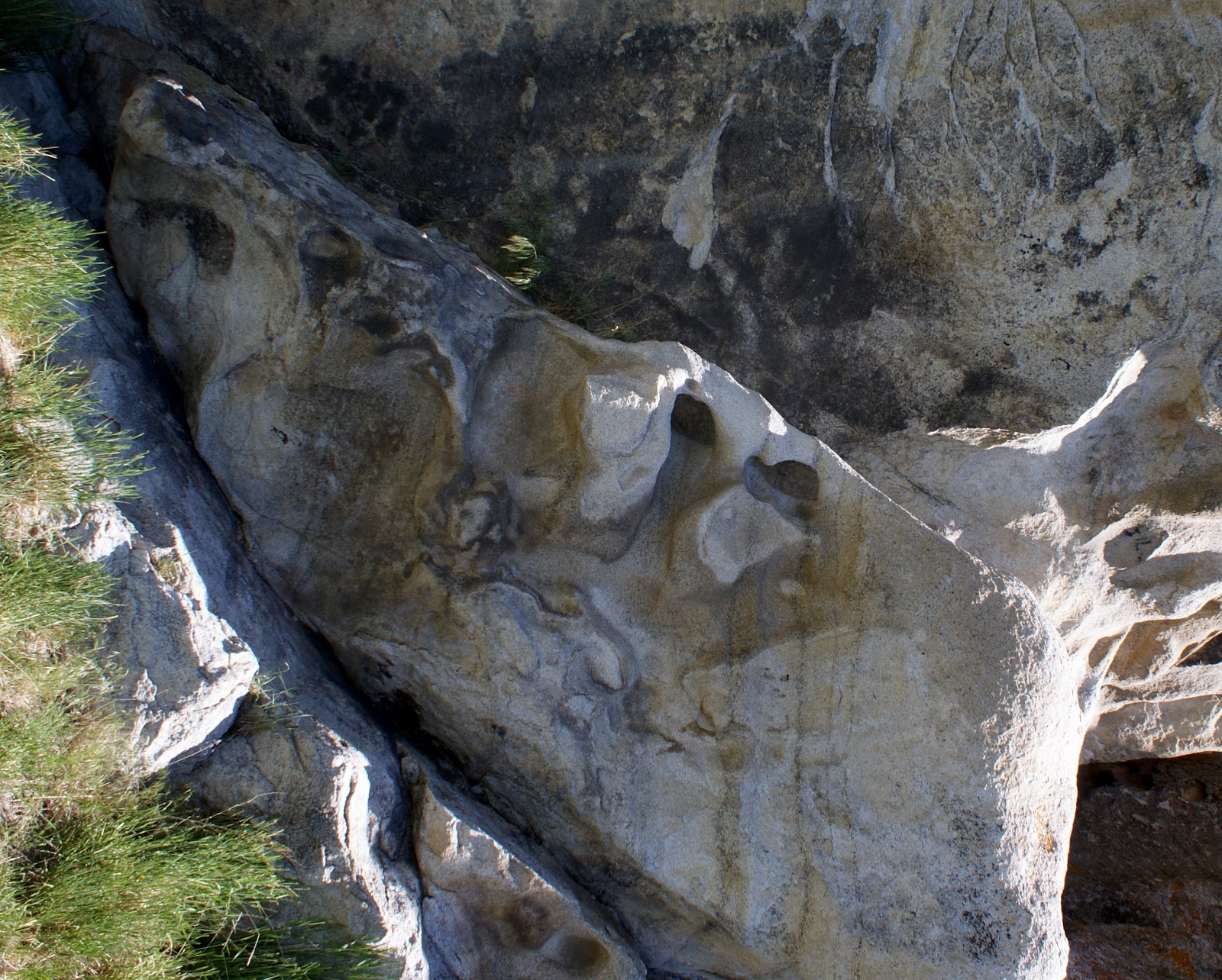
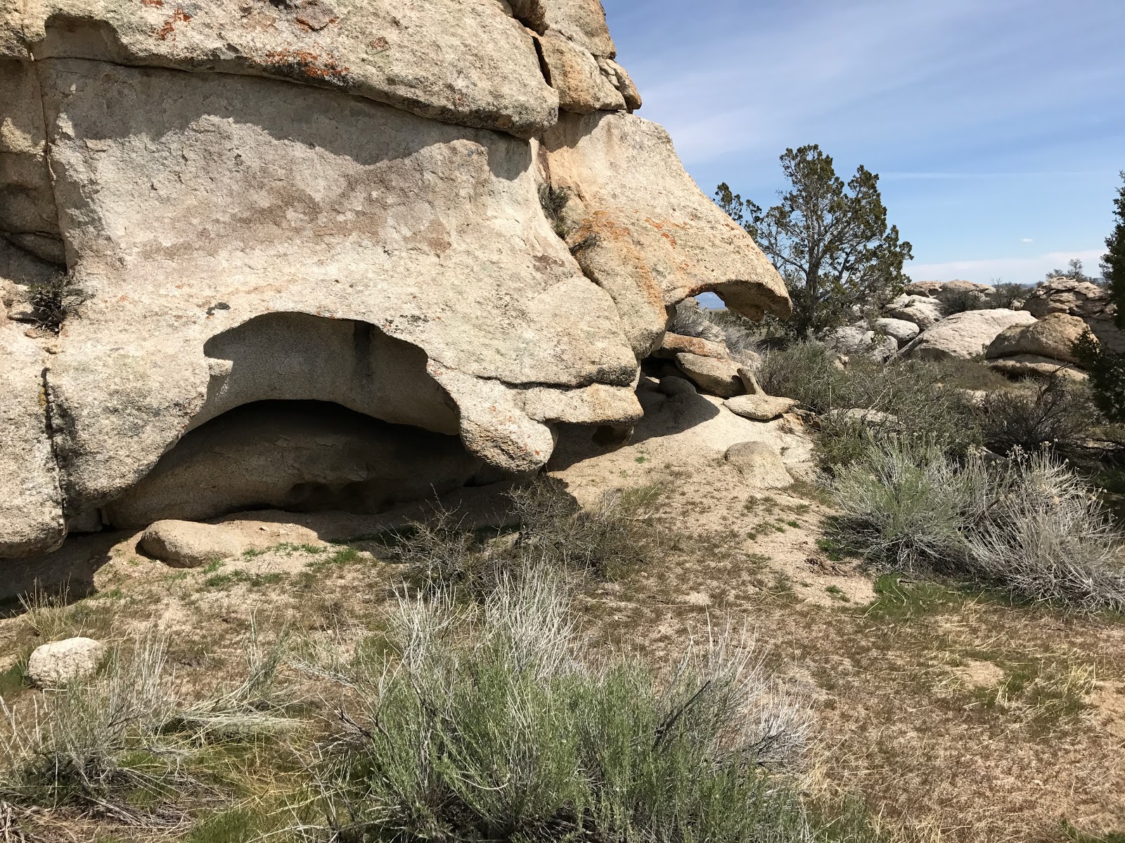
 As I mentioned in the title, the City of Rocks is a relative to the Devils Playground. The City isn't quite as full of the wild rock formations as the Playground, but it does have a few. Above you see some mini-arches and weird rock erosion. This stuff is quite fascinating to look at.  
 Again we see more odd formations. Now I can't say how many there are in City of Rock, but the few I did see and up close looks at  the stone itself show that this area is related to the Devils Playground. The Playground appears to have been subject to more weather conditions because there are far more rock sculptures, for lack of a better name. And I never really saw the cobblestone inlays in any of the rocks here. But, the rock makeup is the same so I am calling them cousins!
Above sits Camp Rock. It has a natural lean-to built into it on 2 sides. This is another place that suffered from the early pioneer graffiti. Like Register Rock, Camp Rock has the fading issue going on too.


J V Attabough is pretty much the only one left discernible on this particular spot. I have zoomed in and tried to let some of the foto editors see if they can make more out of it but nothing worked. It's really kind of sad. You all know I am a history major, and someday I might graduate, but to see losses like this is heartbreaking. I see these names and wonder who were they? Where were they going? Could I now know a relative of this person? Did they even make it to their destination? I guess what I am trying to say is that if you have any history interest inside you, get out and see some of this stuff before its all gone. Between the government, vandals and nature itself, a lot of old historic places are disappearing. Prime example is Jacob City in the Oquirrh mountains. When I first started going there things were still upright. Now only one small mine chute is up and the rest have fallen. If you wanna see this stuff, the time is now. If you want any suggestions on places to go and see, just ask in the comments or visit my website at www.mtnmad.com and I will give you as much info as I can. Jeep on my friends!

Wednesday, April 26, 2017

1944 was a good year.....

 Hello there and welcome to a non-Jeep blog. I hope you will enjoy this as much as the Jeeping blogs, but today was somewhat of a different adventure. The Union Pacific released a bit of news saying that their steamer 844 would be out on a run and would be passing through Box Elder County and stopping in Ogden overnight. We, the public, were invited to come check it out. So, naturally, I did. This is not the biggest of their steam engines, fact is, it's the smallest of the 3 surviving engines. But don't let that fool you. This thing is anything but small. 
 This particular train was delivered in 1944 for use on high speed passenger trains here in the west. It pulled some famous trains of the time including the Los Angeles Limited, Overland Limited and the Challenger. The news release gave out vital info of the train but left out the top speed. Lucky for us that the Union Station in Ogden has the younger brother of the 844 on display. According to that display, these trains would do 110 mph. That is a lot of speed. Oh, how much fun would it have been to ride on this train. Even better, how much fun would it have been to be the engineer?
 Looking in the cab, there are 2 seats with controls in front of both seats. No one was hanging around to answer any questions so I can't say if you can drive from both sides. The bloody thing is so long that in order to see whats ahead of you, you would have to hang your head out the windows quite a ways. 
 As you can see, there are a ton of valves and gauges and levers and....... looks damn complicated to me. But you have to admit....  it would be a pleasure to learn how to run this thing. A few people up here took their drones out and captured it coming down the tracks. It is so impressive. If you click on the link above to my web page, you can go from there to my youtube page and watch a video of the Union Pacific's 3985 Challenger I took 20 years ago. Oh hell, lets just add the link here. https://www.youtube.com/watch?v=z4c_ym9f7pE
 This thing is big. I am standing on the platform looking down on the guy. The wheels on this beast are 80" high. The overall length oh the engine and tender is just over 114'. The combined weight is 454 tons. The engine is powerful. To get that much weight plus a host of passenger cars up to 110 miles per hour..... wow! 
With all the moving parts associated with getting the power to the track, the train requires a ton of upkeep. Every moving joint has to be greased often. The fotos don't show just how many grease spots there are or how much grease is flung everywhere. 
 The connecting rods here above have got to be strong as anything and probably weight over a ton a piece. Just out of the foto there are two mechanics working on something that required their attention. An interesting sight, not included in these fotos was that one of the cars it was pulling was a mobile machine shop. There was a welder, a small crane and a metal lathe all set up and ready to run. I guess when what your driving hasn't been made in over 60 years you have to learn how to make it on the fly. Its not like you can go to your local CarQuest store and by a new part.
 The tender of 844 is huge. It holds 23,500 gallons of water and 6200 gallons of fuel oil. For this trip, there was actually a second tender coupled behind the original to keep it fueled and watered. With the diesel engine replacing the steam engine, water stops are few and far between anymore. It would be quite interesting to run out of fuel or water on a good will trip like this one.   
This last foto is one about the American way of doing things. If you click on the foto and look at it up close you will see that there are rivets everywhere. This engine was built in a time of true manpower. Each one of those rivets was placed there by a man or woman who took pride in their job. These things were not built on an assembly line by robots. They were built by American men and women by hand in an age long past. Their commitment to quality still shows today. This train is awesome! Jeep on my friends.

Saturday, April 22, 2017

A tail, or a tale, with a twist.

 Welcome to another adventure out to the wild west desert of Utah. The Devil's Playground is full of unique geological formations. I am thinking that the name came from the fact that it is hotter than Hell out there in the summer and the fact that the formations are truly bizarre. Young Wyatt, a nephew, is glancing up into the odd shaped cavity of the rock. If you go back a few years, and I think it was on my Yahoo blog, there is the same foto except its Samantha and she is stuck up in the top. I dared Wyatt to climb up into it but then I remembered that he is accident prone so I withdrew my offer. 
 Throughout the whole area, there are formations that leave you wondering how they came to pass. The above foto shows how weird they can be. How long did it take to erode away the rock to leave this type of result? The area is notoriously dry so it can't be from any running source of water. This leaves us with rain and wind and snow. The big question is how long did it take, and what determined the odd shapes? 
 Back to the first foto. If you enlarge it on your screen, you will notice 2 distinct cobblestone patterns going up the rock. What's really odd is the fact that it is on the front, and then goes inside the hollowed out part and its also on the "roof" for lack of a better word. This cobblestone pattern is all over the place out there. I have pointed it out before in previous blogs, but the fact that it is there is mind blowing. You can actually see on some of the formations that the rocks in the cobblestone look like they were placed there with careful thought, almost as if they were a cobblestone street at one time. Hundreds of rocks, laid with precision. It is mind blowing. 
 I took our guests to one of the mines that is out there. This one was worked in the 70's and still has a lot of junk laying around. I did not do very well in planning this quick trip. Well, I did but I planned wrong. With all the rain we have had and how it was 2 weeks ago out there I figured we wouldn't even be able to make it up to the mine. I was wrong. So, being wrong led to me not bringing my good flashlights. No good flashlight means you can't go into the mine and explore. Damnit. I guess I will just have to break down and buy a really good one and just leave it in the Jeep. I have been in this mine before, but due to physical issues I didn't make it very far. Oh well, I guess that just means I will have to go back and do it again. Sux to be me, Not!
To finish the trip, I took Wyatt to persons house who has way too much money. As you can see, these are not your usual horses you would find in most barns of the west. In fact, you probably would only find this somewhere deep in the African Savannah. Why have a good Quarter Horse when you can own a pair of Zebras. To each his own, I guess. Jeep on my friends. 

Saturday, April 8, 2017

2 states, 6 counties, 11 hours, 400 miles and a lot of mud

 Welcome to the first real adventure of 2017. Spring and winter have been fighting over who should be visiting at this time and today winter threw a few good punches with a dusting of snow below 6000 feet and a ton of rain for everywhere else. This battle has been going on for over a month. We have had temps in the 70's and below freezing all in the same week. Welcome to Utah. I decided to hit the trail today regardless of what Mother Nature decided to and enjoy it come what may. I was joined by Kirt and we left home and headed west, right into the storm. As we motored out to the Devil's Playground, we encountered a very weak rainfall and by the time we got to Snowville, there was sun. The puddles in the road let me know it had rained and the snow level was down lower than it had been in weeks.  
 As we started off road going west into the playground, the road became somewhat of a mud festival. I hardly had any traction and there were mud holes everywhere. Some were fairly deep and they made the ride so much fun. We finally made it to the area and got out and took some fotos. I know most of you have seen my previous posts and fotos I've taken of the area, but who cares. Some might not have seen them so here they are.  
 As you can see, the little yellow Jeep got quite a bit of mud on it, but it never had a problem. Fact of the matter is that I only used 4 wheel drive on one really nasty section of the road. For the rest of the trip it was strictly 2 wheel drive and a lot throttle. It was a blast. I am almost sad that I didn't take the GOPRO out with me this time, but, we would have had to clean it every 20 feet. Oh well, not a big deal. You all will just have to take my word on it that is was a blast, and only the beginning. 

 We crossed over the mountain using the same pass that the early pioneers used on their way to California. Emigrant pass is part of the old trail that persons heading to California used on their long trek across the desert. We followed it till it hit the main road then went west to the Lucin area. 
 Now, before I go on, I must explain that we have had a ton of moisture this year. So much so that there has been a lot of flooding going on. At Lucin, a flood of water came down through the area and wiped out an important section of track. The "water" ran through a culvert 7 feet in diameter and until this year, it worked perfect. As you can see, there is no culvert to be seen. All of the snow and rain made for a hell of a flood and wiped it out. The interesting thing is that there is still water running from mountains down through this area. I have never seen water running through this area yet there is now a 25 yard "riverbed" complete with a tiny river. 
 Another oddity is the fact that the pond at Lucin is damn near bone dry. There is a tiny puddle but that's about it. The government sign says that the pond receives the water from a pipeline to the north. With all the water we have had, I can't quite figure out why its dry. Who knows, maybe the feeder pipeline has broken or been destroyed by the major flood. Again, no idea. 
 Next stop on the tour was the Sun Tunnels. They sit in the middle of nowhere on a very fine layer of sand. The road to them was freakin' slippery and being alone I chose not to get close to them. If you get stuck out there it would be a long wait for someone to come pull you out. After leaving the Sun Tunnels, we headed south on the road to Wendover Utah. I have never been down this road so it was all new to me. 
As it was like the roads before, this road too was a fun, mud bogging adventure. Some parts were dry while other parts were a mud bogger's dream. The little yellow Jeep had no problems going through all this mud and before we knew it, we were at Interstate 80 and Wendover, Utah. The sign above tells how the emigrant trail system went through the area we were driving through. The road we followed damn near matches the route they had taken. This area of Utah and the west desert is full of history form days gone passed. I can't imagine how it would have been to be driving a covered wagon on my way to California. I will say that, today, was a great day to be out there exploring. We did see some roads that need to be explored in the future so we will be back. We did a late lunch in Wendover before heading back home. On our way home though, Mother Nature let loose with the rain and hail. From Samantha's house to back home here in Tremonton, the skies opened up and rain came down by the buckets. So much so that it washed the Jeep, which sucks because a dirty Jeep is a great Jeep!
Jeep on my friends!